GPSMAP
®
4000/5000 Series Owner’s Manual 23
Charts and 3D Chart Views
Showing Range Rings
See “Showing Range Rings” (page 19).
Selecting a Safe Depth Appearance
You can set the appearance of a safe depth for Mariner’s Eye 3D.
: This setting affects only the appearance of hazard colors in Mariner’s Eye 3D. It does not effect the
safe water depth Auto Guidance setting (page 53) or the sonar shallow water alarm setting (page 94).
1. From the Home screen, select > > > > .
2. Enter the depth.
3. Select .
Selecting a Lane Width
See “Selecting a Lane Width” (page 20).
Showing Other Vessels
See “Conguring the Appearance of Other Vessels” (page 58).
Showing Surface Radar
See “Showing Surface Radar” (page 20).
Showing and Conguring Data Bars
See “Data Bars” (page 56).
Using Waypoints and Tracks
See “Waypoints” (page 32) or “Tracks” (page 36).
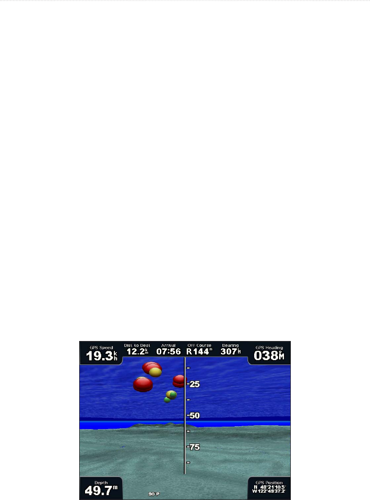
Fish Eye 3D
Using the depth contour lines of the BlueChart g2 Vision cartography, Fish Eye 3D provides an underwater
view of the sea oor or lake bottom.
Suspended targets (such as sh) are indicated by red, green, and yellow spheres. Red indicates the largest
targets and green indicates the smallest.
Fish Eye 3D
Adjusting the View
See “Adjusting the View” (page 19).


